Stamp: Tripod, Hand Held Remote Control Device, 1993 (British Antarctic Territory (BAT) 1998)
Tripod, Hand Held Remote Control Device, 1993 (British Antarctic Territory (BAT) 1998)
19 March (British Antarctic Territory (BAT) ) within release History of Mapping goes into circulation Stamp Tripod, Hand Held Remote Control Device, 1993 face value 65 British penny
| Stamp Tripod, Hand Held Remote Control Device, 1993 in catalogues | |
|---|---|
| Michel: | Mi: GB-AT 271 |
| Stamp Number: | Sn: GB-AT 257 |
| Yvert et Tellier: | Yt: GB-AT 285 |
| Stanley Gibbons: | Sg: GB-AT 285 |
Stamp is vertical format.
Tripod, Hand Held Remote Control Device, 1993Also in the issue History of Mapping:
- Stamp - Cartographer, 1949 face value 30;
- Stamp - Radar Rangefinder, 1964 face value 35;
- Stamp - Satellite, 1981 face value 40;
- Stamp - Theodolite, 1902-03 face value 16;
- Stamp - Tripod, Hand Held Remote Control Device, 1993 face value 65;
Stamp Tripod, Hand Held Remote Control Device, 1993 it reflects the thematic directions:
Communication is commonly defined as the transmission of information. Its precise definition is disputed and there are disagreements about whether unintentional or failed transmissions are included and whether communication not only transmits meaning but also creates it. Models of communication are simplified overviews of its main components and their interactions. Many models include the idea that a source uses a coding system to express information in the form of a message. The message is sent through a channel to a receiver who has to decode it to understand it. The main field of inquiry investigating communication is called communication studies.
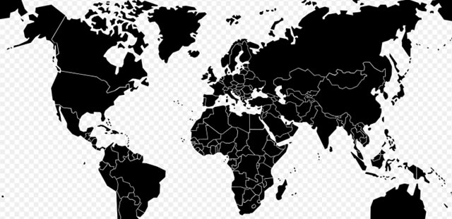
A map is a symbolic depiction emphasizing relationships between elements of some space, such as objects, regions, or themes. Many maps are static, fixed to paper or some other durable medium, while others are dynamic or interactive. Although most commonly used to depict geography, maps may represent any space, real or imagined, without regard to context or scale, such as in brain mapping, DNA mapping, or computer network topology mapping. The space being mapped may be two dimensional, such as the surface of the earth, three dimensional, such as the interior of the earth, or even more abstract spaces of any dimension, such as arise in modeling phenomena having many independent variables. Although the earliest maps known are of the heavens, geographic maps of territory have a very long tradition and exist from ancient times. The word "map" comes from the medieval Latin Mappa mundi, wherein mappa meant napkin or cloth and mundi the world. Thus, "map" became the shortened term referring to a two-dimensional representation of the surface of the world.
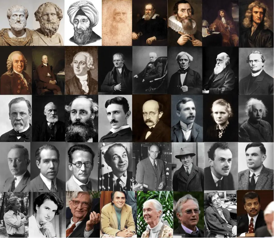
A scientist is a person who researches to advance knowledge in an area of the natural sciences


