Se-tenant: Military Geographical Institute (Ecuador 2001)
Military Geographical Institute (Ecuador 2001)
01 April (Ecuador ) within release Printing Office of the Military Geographical Institute goes into circulation Se-tenant Military Geographical Institute face value 2*0.68 United States dollar
| Se-tenant Military Geographical Institute in catalogues | |
|---|---|
| Michel: | Mi: EC 2544-2545 |
| Stanley Gibbons: | Sg: EC 2477a |
Se-tenant is square format.
Also in the issue Printing Office of the Military Geographical Institute:
- Se-tenant - Military Geographical Institute face value 2*0.68;
- Stamp - Printing Office face value 0.68;
- Stamp - Soldier and map face value 0.68;
Se-tenant Military Geographical Institute it reflects the thematic directions:
A computer is a machine that can be programmed to automatically carry out sequences of arithmetic or logical operations (computation). Modern digital electronic computers can perform generic sets of operations known as programs. These programs enable computers to perform a wide range of tasks. The term computer system may refer to a nominally complete computer that includes the hardware, operating system, software, and peripheral equipment needed and used for full operation; or to a group of computers that are linked and function together, such as a computer network or computer cluster.
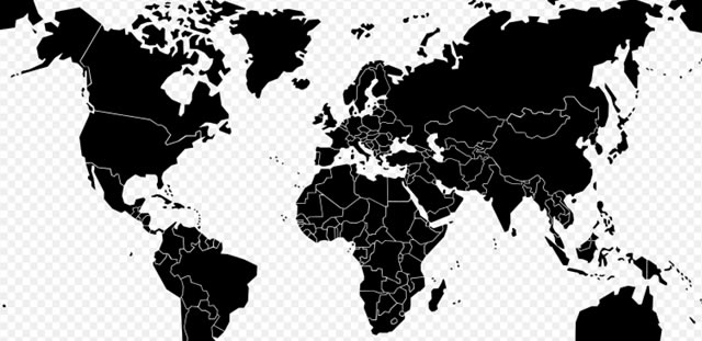
A map is a symbolic depiction emphasizing relationships between elements of some space, such as objects, regions, or themes. Many maps are static, fixed to paper or some other durable medium, while others are dynamic or interactive. Although most commonly used to depict geography, maps may represent any space, real or imagined, without regard to context or scale, such as in brain mapping, DNA mapping, or computer network topology mapping. The space being mapped may be two dimensional, such as the surface of the earth, three dimensional, such as the interior of the earth, or even more abstract spaces of any dimension, such as arise in modeling phenomena having many independent variables. Although the earliest maps known are of the heavens, geographic maps of territory have a very long tradition and exist from ancient times. The word "map" comes from the medieval Latin Mappa mundi, wherein mappa meant napkin or cloth and mundi the world. Thus, "map" became the shortened term referring to a two-dimensional representation of the surface of the world.
A military, also known collectively as an armed forces, are a heavily armed, highly organized force primarily intended for warfare. Militaries are typically authorized and maintained by a sovereign state, with their members identifiable by a distinct military uniform. They may consist of one or more military branches such as an army, navy, air force, space force, marines, or coast guard. The main task of a military is usually defined as defence of their state and its interests against external armed threats.
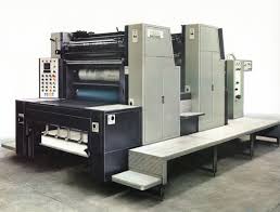
A printing press is a mechanical device for applying pressure to an inked surface resting upon a print medium (such as paper or cloth), thereby transferring the ink. It marked a dramatic improvement on earlier printing methods in which the cloth, paper, or other medium was brushed or rubbed repeatedly to achieve the transfer of ink and accelerated the process. Typically used for texts, the invention and global spread of the printing press was one of the most influential events in the second millennium


