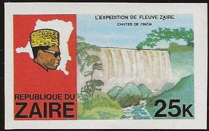
Stamp: Waterfalls of Inzia (Zaire 1979)
Waterfalls of Inzia (Zaire 1979)
12 February (Zaire ) within release Discovery of the River Zaïre goes into circulation Stamp Waterfalls of Inzia face value 25 Zairean makuta
| Stamp Waterfalls of Inzia in catalogues | |
|---|---|
| Belgium: | Bel: CD 973ND |
Stamp is horizontal format.
Official issued stamp of Congo Kinshasa (Belgian OBP), not a cinderellaAlso in the issue Discovery of the River Zaïre:
- Souvenir Sheet - Expedition On River Zaire face value 18;
- Souvenir Sheet - The voyage of discovery of the River Zaïre face value 106;
- Stamp - Ntore-dancer face value 1;
- Stamp - Regal Sunbird (Nectarinia regia) face value 3;
- Stamp - African Elephant (Loxodonta africana) face value 4;
- Stamp - Diamond, cotton & tobacco face value 10;
- Stamp - Hand with torch face value 14;
- Stamp - Lion (Panthera leo), Water Lily face value 17;
- Stamp - Waterfalls of Inzia face value 25;
- Stamp - Fishermen of Wagenia face value 50;
- Stamp - African Elephant (Loxodonta africana) face value 4;
- Stamp - Diamond, cotton & tobacco face value 10;
- Stamp - Fishermen of Wagenia face value 50;
- Stamp - Hand with torch face value 14;
- Stamp - Lion (Panthera leo), Water Lily face value 17;
- Stamp - Regal Sunbird (Nectarinia regia) face value 3;
- Stamp - Waterfalls of Inzia face value 25;
- Souvenir Sheet - Expedition On River Zaire face value 18;
Stamp Waterfalls of Inzia it reflects the thematic directions:
A dictator is a political leader who possesses absolute power. A dictatorship is a state ruled by one dictator or by a polity. The word originated as the title of a Roman dictator elected by the Roman Senate to rule the republic in times of emergency. Like the terms "tyrant" and "autocrat", dictator came to be used almost exclusively as a non-titular term for oppressive rule. In modern usage, the term dictator is generally used to describe a leader who holds or abuses an extraordinary amount of personal power.
Exploration is the process of exploring, an activity which has some expectation of discovery. Organised exploration is largely a human activity, but exploratory activity is common to most organisms capable of directed locomotion and the ability to learn, and has been described in, amongst others, social insects foraging behaviour, where feedback from returning individuals affects the activity of other members of the group.
A head of state (or chief of state) is the public persona that officially represents the national unity and legitimacy of a sovereign state. In some countries, the head of state is a ceremonial figurehead with limited or no executive power, while in others, the head of state is also the head of government. In countries with parliamentary governments, the head of state is typically a ceremonial figurehead that does not actually guide day-to-day government activities and may not be empowered to exercise any kind of secular political authority (e.g., Queen Elizabeth II as Head of the Commonwealth). In countries where the head of state is also the head of government, the president serves as both a public figurehead and the actual highest ranking political leader who oversees the executive branch (e.g., the President of the United States).
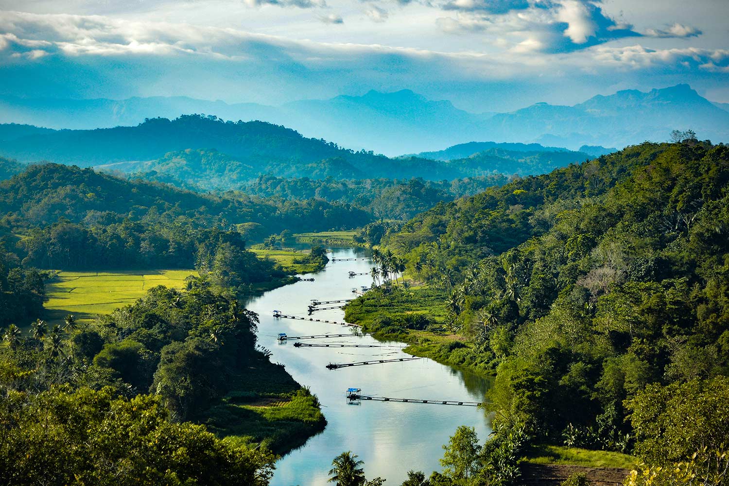
A landscape is the visible features of an area of land, its landforms and how they integrate with natural or man-made features. A landscape includes the physical elements of geophysically defined landforms such as (ice-capped) mountains, hills, water bodies such as rivers, lakes, ponds and the sea, living elements of land cover including indigenous vegetation, human elements including different forms of land use, buildings and structures, and transitory elements such as lighting and weather conditions. Combining both their physical origins and the cultural overlay of human presence, often created over millennia, landscapes reflect a living synthesis of people and place that is vital to local and national identity. The character of a landscape helps define the self-image of the people who inhabit it and a sense of place that differentiates one region from other regions. It is the dynamic backdrop to people’s lives. Landscape can be as varied as farmland, a landscape park, or wilderness. The earth has a vast range of landscapes, including the icy landscapes of polar regions, mountainous landscapes, vast arid desert landscapes, islands and coastal landscapes, densely forested or wooded landscapes including past boreal forests and tropical rainforests, and agricultural landscapes of temperate and tropical regions.
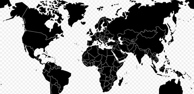
A map is a symbolic depiction emphasizing relationships between elements of some space, such as objects, regions, or themes. Many maps are static, fixed to paper or some other durable medium, while others are dynamic or interactive. Although most commonly used to depict geography, maps may represent any space, real or imagined, without regard to context or scale, such as in brain mapping, DNA mapping, or computer network topology mapping. The space being mapped may be two dimensional, such as the surface of the earth, three dimensional, such as the interior of the earth, or even more abstract spaces of any dimension, such as arise in modeling phenomena having many independent variables. Although the earliest maps known are of the heavens, geographic maps of territory have a very long tradition and exist from ancient times. The word "map" comes from the medieval Latin Mappa mundi, wherein mappa meant napkin or cloth and mundi the world. Thus, "map" became the shortened term referring to a two-dimensional representation of the surface of the world.
A river is a natural freshwater stream that flows on land or inside caves towards another body of water at a lower elevation, such as an ocean, lake, or another river. A river may run dry before reaching the end of its course if it runs out of water, or only flow during certain seasons. Rivers are regulated by the water cycle, the processes by which water moves around the Earth. Water first enters rivers through precipitation, whether from rainfall, the runoff of water down a slope, the melting of glaciers or snow, or seepage from aquifers beneath the surface of the Earth.


