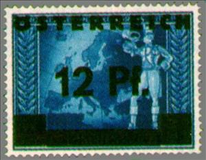
Stamp: Overprint German stamp postilion in front of European map (Austria 1945)
Overprint German stamp postilion in front of European map (Austria 1945)
13 June (Austria ) within release Overprint stamps Deutsche Reich goes into circulation Stamp Overprint German stamp postilion in front of European map face value 12 German reichspfennig
| Stamp Overprint German stamp postilion in front of European map in catalogues | |
|---|---|
| Michel: | Mi:AT 667 |
| Yvert et Tellier: | Yt:AT 542 |
Stamp is horizontal format.
Black overprint on German stamp 1942 DR 820Also in the issue Overprint stamps Deutsche Reich:
- Stamp - Overprint German stamp bridal goblet & aquamanile face value 5;
- Stamp - Overprint German stamp postilion on globe face value 6;
- Stamp - Overprint German stamp mare with foal face value 8;
- Stamp - Overprint German stamp postilion in front of European map face value 12;
Stamp Overprint German stamp postilion in front of European map it reflects the thematic directions:
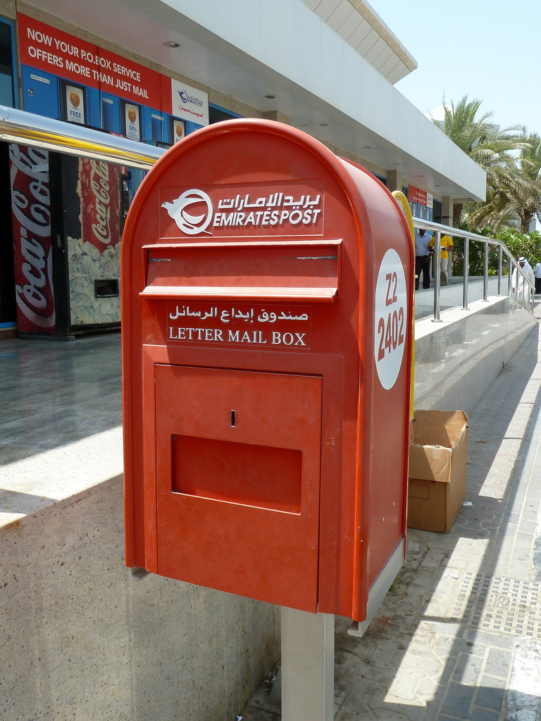
The mail or post is a system for physically transporting documents and other small packages; or, the postcards, letters, and parcels themselves. A postal service can be private or public, though many governments place restrictions on private systems. Since the mid-19th century national postal systems have generally been established as government monopolies with a fee on the article prepaid. Proof of payment is often in the form of adhesive postage stamps, but postage meters are also used for bulk mailing. Modern private postal systems are typically distinguished from national postal agencies by the names "courier" or "delivery service". Postal authorities often have functions other than transporting letters. In some countries, a postal, telegraph and telephone (PTT) service oversees the postal system, in addition to telephone and telegraph systems. Some countries' postal systems allow for savings accounts and handle applications for passports.
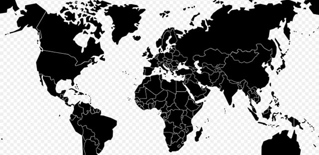
A map is a symbolic depiction emphasizing relationships between elements of some space, such as objects, regions, or themes. Many maps are static, fixed to paper or some other durable medium, while others are dynamic or interactive. Although most commonly used to depict geography, maps may represent any space, real or imagined, without regard to context or scale, such as in brain mapping, DNA mapping, or computer network topology mapping. The space being mapped may be two dimensional, such as the surface of the earth, three dimensional, such as the interior of the earth, or even more abstract spaces of any dimension, such as arise in modeling phenomena having many independent variables. Although the earliest maps known are of the heavens, geographic maps of territory have a very long tradition and exist from ancient times. The word "map" comes from the medieval Latin Mappa mundi, wherein mappa meant napkin or cloth and mundi the world. Thus, "map" became the shortened term referring to a two-dimensional representation of the surface of the world.
The post horn is a valveless cylindrical brass instrument with a cupped mouthpiece. The instrument was used to signal the arrival or departure of a post rider or mail coach. It was used by postilions of the 18th and 19th centuries.


