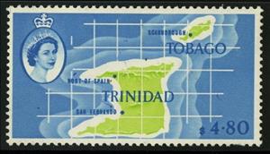
Stamp: Map of Trinidad & Tobago (Trinidad and Tobago 1960)
Map of Trinidad & Tobago (Trinidad and Tobago 1960)
24 September (Trinidad and Tobago ) within release Local Scenes goes into circulation Stamp Map of Trinidad & Tobago face value 4.80 Trinidad and Tobago dollar
| Stamp Map of Trinidad & Tobago in catalogues | |
|---|---|
| Michel: | Mi:TT 186 |
| Stamp Number: | Sn:TT 102 |
Stamp is square format.
Also in the issue Local Scenes:
- Stamp - Cipriani Memorial, Port of Spain face value 1;
- Stamp - Queens Hall, St. Ann's face value 2;
- Stamp - Whitehall, Port of Spain face value 5;
- Stamp - Treasury Building face value 6;
- Stamp - Governers House face value 8;
- Stamp - General Hospital, San Fernando face value 10;
- Stamp - Oil Refinery, Point-a-Pierre face value 12;
- Stamp - Colony Coat of Arms face value 15;
- Stamp - Scarlet Ibis (Eudocimus ruber) face value 25;
- Stamp - Pitch Lake face value 35;
- Stamp - Mohammed-Jinnah Mosque, St. Joseph face value 50;
- Stamp - Anthurium (Anthurium sp.) face value 60;
- Stamp - Copper-rumped Hummingbird (Amazilia tobaci), Hibiscus Flower face value 1.20;
- Stamp - Map of Trinidad & Tobago face value 4.80;
Stamp Map of Trinidad & Tobago it reflects the thematic directions:
A map is a symbolic depiction emphasizing relationships between elements of some space, such as objects, regions, or themes. Many maps are static, fixed to paper or some other durable medium, while others are dynamic or interactive. Although most commonly used to depict geography, maps may represent any space, real or imagined, without regard to context or scale, such as in brain mapping, DNA mapping, or computer network topology mapping. The space being mapped may be two dimensional, such as the surface of the earth, three dimensional, such as the interior of the earth, or even more abstract spaces of any dimension, such as arise in modeling phenomena having many independent variables. Although the earliest maps known are of the heavens, geographic maps of territory have a very long tradition and exist from ancient times. The word "map" comes from the medieval Latin Mappa mundi, wherein mappa meant napkin or cloth and mundi the world. Thus, "map" became the shortened term referring to a two-dimensional representation of the surface of the world.
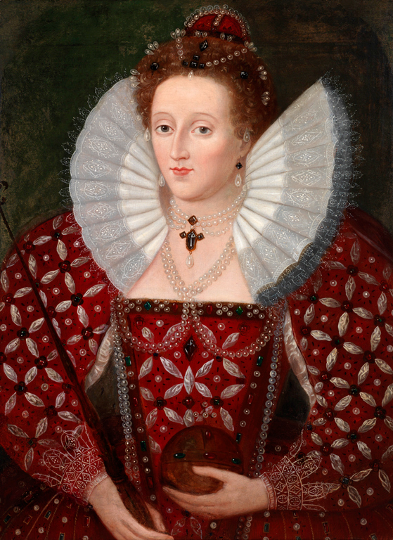
Queen - the title of reigning female monarch or the wife of the king in a number of countries


