Stamp: Fishing trawler Arcturus (Faroe Islands 1977)
Fishing trawler Arcturus (Faroe Islands 1977)
28 April (Faroe Islands ) within release Fishers boats goes into circulation Stamp Fishing trawler Arcturus face value 600 Faroese oyra
| Stamp Fishing trawler Arcturus in catalogues | |
|---|---|
| Michel: | Mi:FO 27 |
Stamp is square format.
Also in the issue Fishers boats:
- Stamp - Motorboat Niels Pauli face value 100;
- Stamp - Cutter Krunborg face value 125;
- Stamp - Fishing trawler Arcturus face value 600;
Stamp Fishing trawler Arcturus it reflects the thematic directions:
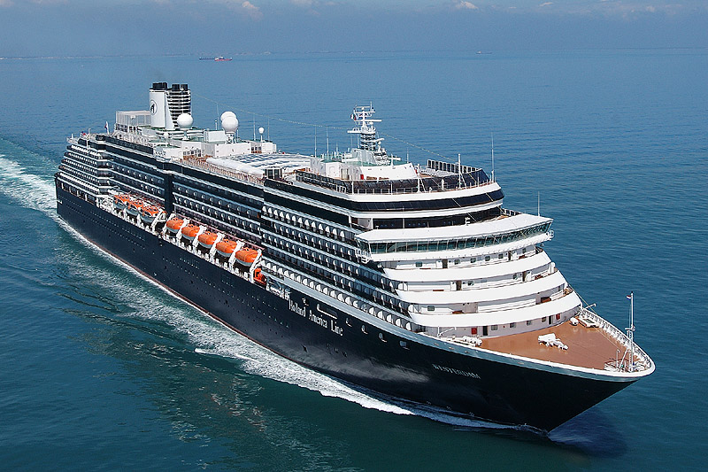
A ship is a large watercraft that travels the world's oceans and other sufficiently deep waterways, carrying passengers or goods, or in support of specialized missions, such as defense, research and fishing. Historically, a "ship" was a sailing vessel with at least three square-rigged masts and a full bowsprit. Ships are generally distinguished from boats, based on size, shape and load capacity.
A vehicle (from Latin: vehiculum) is a mobile machine that transports people or cargo. Typical vehicles include wagons, bicycles, motor vehicles (motorcycles, trucks, buses), railed vehicles (trains, trams), watercraft (ships, boats), aircraft and spacecraft. Land vehicles are classified broadly by what is used to apply steering and drive forces against the ground: wheeled, tracked, railed or skied. ISO 3833-1977 is the standard, also internationally used in legislation, for road vehicles types, terms and definitions.
Cartography (/kɑːrˈtɒɡrəfi/; from Ancient Greek: χάρτης chartēs, 'papyrus, sheet of paper, map'; and γράφειν graphein, 'write') is the study and practice of making and using maps. Combining science, aesthetics and technique, cartography builds on the premise that reality (or an imagined reality) can be modeled in ways that communicate spatial information effectively.
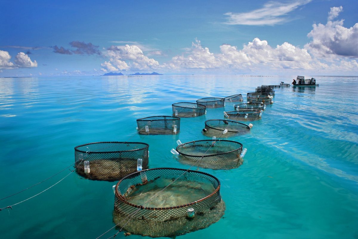
Fishery can mean either the enterprise of raising or harvesting fish and other aquatic life or, more commonly, the site where such enterprise takes place (a.k.a., fishing grounds).Commercial fisheries include wild fisheries and fish farms, both in freshwater waterbodies (about 10% of all catch) and the oceans (about 90%). About 500 million people worldwide are economically dependent on fisheries. 171 million tonnes of fish were produced in 2016, but overfishing is an increasing problem, causing declines in some populations.
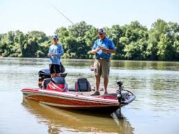
A fishing vessel is a boat or ship used to catch fish and other valuable nektonic aquatic animals (e.g. shrimps/prawns, krills, coleoids, etc.) in the sea, lake or river. Humans have used different kinds of surface vessels in commercial, artisanal and recreational fishing.
A map is a symbolic depiction emphasizing relationships between elements of some space, such as objects, regions, or themes. Many maps are static, fixed to paper or some other durable medium, while others are dynamic or interactive. Although most commonly used to depict geography, maps may represent any space, real or imagined, without regard to context or scale, such as in brain mapping, DNA mapping, or computer network topology mapping. The space being mapped may be two dimensional, such as the surface of the earth, three dimensional, such as the interior of the earth, or even more abstract spaces of any dimension, such as arise in modeling phenomena having many independent variables. Although the earliest maps known are of the heavens, geographic maps of territory have a very long tradition and exist from ancient times. The word "map" comes from the medieval Latin Mappa mundi, wherein mappa meant napkin or cloth and mundi the world. Thus, "map" became the shortened term referring to a two-dimensional representation of the surface of the world.


