Stamp: Map of South America, Cattle (Uruguay 1987)
Map of South America, Cattle (Uruguay 1987)
28 October (Uruguay ) within release Exports of Uruguay goes into circulation Stamp Map of South America, Cattle face value 51 Uruguayan new peso
| Stamp Map of South America, Cattle in catalogues | |
|---|---|
| Michel: | Mi: UY 1772 |
| Stamp Number: | Sn: UY 1241 |
| Yvert et Tellier: | Yt: UY 1223 |
Stamp is square format.
Printed by National Print, Montevideo in sheets of 25 stamps. Designed by M. Mullin Diaz. Variety: on fluorescent paper (CI 1223a)Also in the issue Exports of Uruguay:
- Stamp - Map of South America, Cattle face value 51;
- Stamp - Milk products face value 51;
Stamp Map of South America, Cattle it reflects the thematic directions:
Bulls and cows (also known as cows and bulls or pigs and bulls) is a code-breaking mind or paper and pencil game for two or more players. The game is played in turns by two opponents who aim to decipher the other's secret code by trial and error.
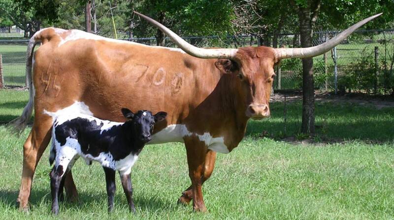
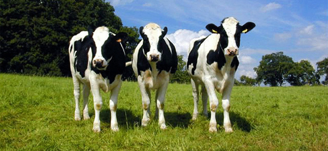
Cattle (Bos taurus) are large, domesticated, bovid ungulates widely kept as livestock. They are prominent modern members of the subfamily Bovinae and the most widespread species of the genus Bos. Mature female cattle are called cows and mature male cattle are bulls. Young female cattle are called heifers, young male cattle are oxen or bullocks, and castrated male cattle are known as steers.
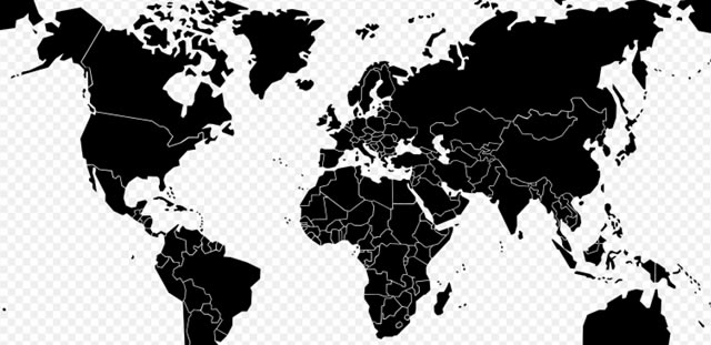
A map is a symbolic depiction emphasizing relationships between elements of some space, such as objects, regions, or themes. Many maps are static, fixed to paper or some other durable medium, while others are dynamic or interactive. Although most commonly used to depict geography, maps may represent any space, real or imagined, without regard to context or scale, such as in brain mapping, DNA mapping, or computer network topology mapping. The space being mapped may be two dimensional, such as the surface of the earth, three dimensional, such as the interior of the earth, or even more abstract spaces of any dimension, such as arise in modeling phenomena having many independent variables. Although the earliest maps known are of the heavens, geographic maps of territory have a very long tradition and exist from ancient times. The word "map" comes from the medieval Latin Mappa mundi, wherein mappa meant napkin or cloth and mundi the world. Thus, "map" became the shortened term referring to a two-dimensional representation of the surface of the world.
Trade involves the transfer of goods and services from one person or entity to another, often in exchange for money. Economists refer to a system or network that allows trade as a market.


